ScopeNew
Thursday, January 15, 2026
  • Guide
  • Business & Finance
  • Technology
  • Health
  • Legal
  • Travel & Tour
  • More
    • Shopping
    • Cryptocurrency
    • Real Estate
    • Automobile
No Result
View All Result
  • Guide
  • Business & Finance
  • Technology
  • Health
  • Legal
  • Travel & Tour
  • More
    • Shopping
    • Cryptocurrency
    • Real Estate
    • Automobile
No Result
View All Result
ScopeNew
No Result
View All Result
Home Technology

Remote sensing in Earth Observation – benefits of using satellite images

Ruby McKenzie by Ruby McKenzie
3 years ago
in Technology
A A
0
Remote sensing in Earth Observation – benefits of using satellite images
Share on FacebookShare on Twitter

Remote sensing satellite images are highly specialized and provide more data than regular photos. They can provide a lot of valuable analysis in various fields. Find out why it is worth using this technology.

Table of Contents

Toggle
  • What is remote sensing?
    • RELATED POSTS
    • How a GPS Tracker Improves Vehicle Safety, Theft Recovery, and Insurance Claims
    • The Digital Nomad 2.0: Rewriting The Rules Of Remote Work
  • What is the use of satellite images in remote sensing?
  • What are the benefits of using satellite images for remote sensing?

What is remote sensing?

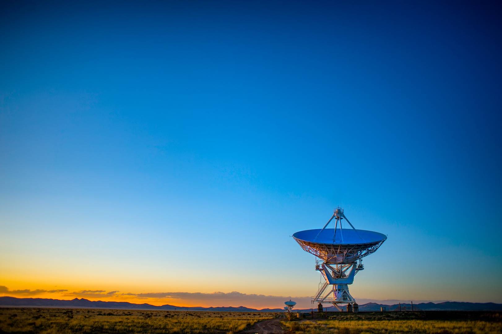
Remote sensing is a method of acquiring data on the physical characteristics of a location by measuring emitted and reflected radiation. The instruments used for the research (usually an aircraft or a satellite) are equipped with specialized cameras that capture detailed images.

RELATED POSTS

How a GPS Tracker Improves Vehicle Safety, Theft Recovery, and Insurance Claims

How a GPS Tracker Improves Vehicle Safety, Theft Recovery, and Insurance Claims

January 1, 2026
The Digital Nomad 2.0: Rewriting The Rules Of Remote Work

The Digital Nomad 2.0: Rewriting The Rules Of Remote Work

December 20, 2025

Remote sensing instruments most often direct their attention to the components of light, i.e., the ranges of the radiation corresponding to colors: blue (450-490 nm), green (520-570 nm), and red (630-740 nm). Such a set makes it possible to create images that correspond to the specific perception of the human eye. Often, near-infrared radiation (780-3000 nm) provides information about vegetation (leaf structures) and water content of the environment. 

Measurements of radiation in the far infrared (thermal, 10000-12000 nm) make it possible to determine the surface temperature of land and oceans. Visible and infrared light allows observations of the Earth’s surface only under cloudless skies.

What is the use of satellite images in remote sensing?

Satellite images used in remote sensing help monitor and observe any location. They allow the assessment of environmental impacts, analysis of historical data, and creation of reports on current processes or disturbances. Data collected by satellites can be used to create maps of land cover, flood extent, soil moisture, cloud cover, forest stands, etc.

VHR images utilized in remote sensing allow to:

  • predict and observe Natural Disasters (wildfires, hurricanes, flooding, etc.).
  • monitor the effects of Critical Events and support crisis management,
  • conduct and observe military operations,
  • supervise the impact of construction, mining, deforestation, and regulatory infringements,
  • develop agriculture and industry,
  • supervise the progress of construction of large facilities,
  • perform natural-environmental analysis (e.g., valorization of naturally valuable areas).

This technology is also widely used in many other fields, including archaeology, materials science and education.

What are the benefits of using satellite images for remote sensing?

Satellite VHR images have significantly better resolution and provide more data. This solution is in many ways more advantageous than using images taken from an aircraft or drone. The biggest advantages of this technology include:

  • accessibility – the equipment placed on the satellite can take photos and measurements of any location;
  • autonomy – satellites operate unmanned, using advanced lenses and sensors to image the planet, automatically sending data to a ground station;
  • convenience – satellite equipment can collect data for up to 30 days while adjusting equipment settings accordingly so that finished images do not require processing; 
  • price – the cost of taking and storing satellite images is dropping every year as these solutions become increasingly available.

Looking for an operator that can offer you access to VHR images, as well as manage data storage for Earth Observation? Consult CloudFerro, one of the best cloud service providers on the market.

Ruby McKenzie

Ruby McKenzie

Hello, I'm Ruby, a versatile wordsmith with a passion for storytelling and a love for exploring diverse niches. With a keen eye for detail and a creative flair, I craft a compelling content that captivates readers across all topics. From Tech, Guide, DIY and Travel to , Legal, Health, Entertainment, Sports, lifestyle and Finance, I delve deep into each subject, delivering valuable insights and engaging narratives.

Related Posts

How a GPS Tracker Improves Vehicle Safety, Theft Recovery, and Insurance Claims

How a GPS Tracker Improves Vehicle Safety, Theft Recovery, and Insurance Claims

by Ruby McKenzie
January 1, 2026
0

Modern vehicles are no longer judged only by their engines, mileage, or design. Technology now plays a decisive role in...

The Digital Nomad 2.0: Rewriting The Rules Of Remote Work

The Digital Nomad 2.0: Rewriting The Rules Of Remote Work

by Ruby McKenzie
December 20, 2025
0

The image of the "digital nomad" has been sold to us for over a decade now. We all know the...

5 Tools to Save TikTok Videos Without Watermarks in HD

5 Tools to Save TikTok Videos Without Watermarks in HD

by Ruby McKenzie
December 18, 2025
0

If you create content, edit videos, or just want to save your own TikToks for later, you've probably run into...

Why Specialized Training Still Matters in 2025

Why Specialized Training Still Matters in 2025

by Ruby McKenzie
December 12, 2025
0

In a world shaped by automation, artificial intelligence, and rapid digital transformation, it’s easy to assume that traditional skills and...

Beyond Algorithms: The Human Edge

Beyond Algorithms: The Human Edge

by Ruby McKenzie
December 12, 2025
0

Artificial intelligence has long been fascinated by the workings of the human mind. Since the mid-twentieth century, researchers have examined...

Next Post
11 Ways to Get The Most Out Of Your Surplus Equipment

11 Ways to Get The Most Out Of Your Surplus Equipment

Create a Franchise Business Plan

How to Create a Franchise Business Plan

  • Privacy Policy
  • Contact Us
  • Advertise

© 2025 ScopeNew. All Rights Reserved.

No Result
View All Result
  • Guide
  • Business & Finance
  • Technology
  • Health
  • Legal
  • Travel & Tour
  • Real Estate
  • Lifestyle
  • Entertainment
  • Shopping
  • Automobile
  • Cryptocurrency
  • Sports

© 2025 ScopeNew. All Rights Reserved.